October 24, 2016

Final Hikes

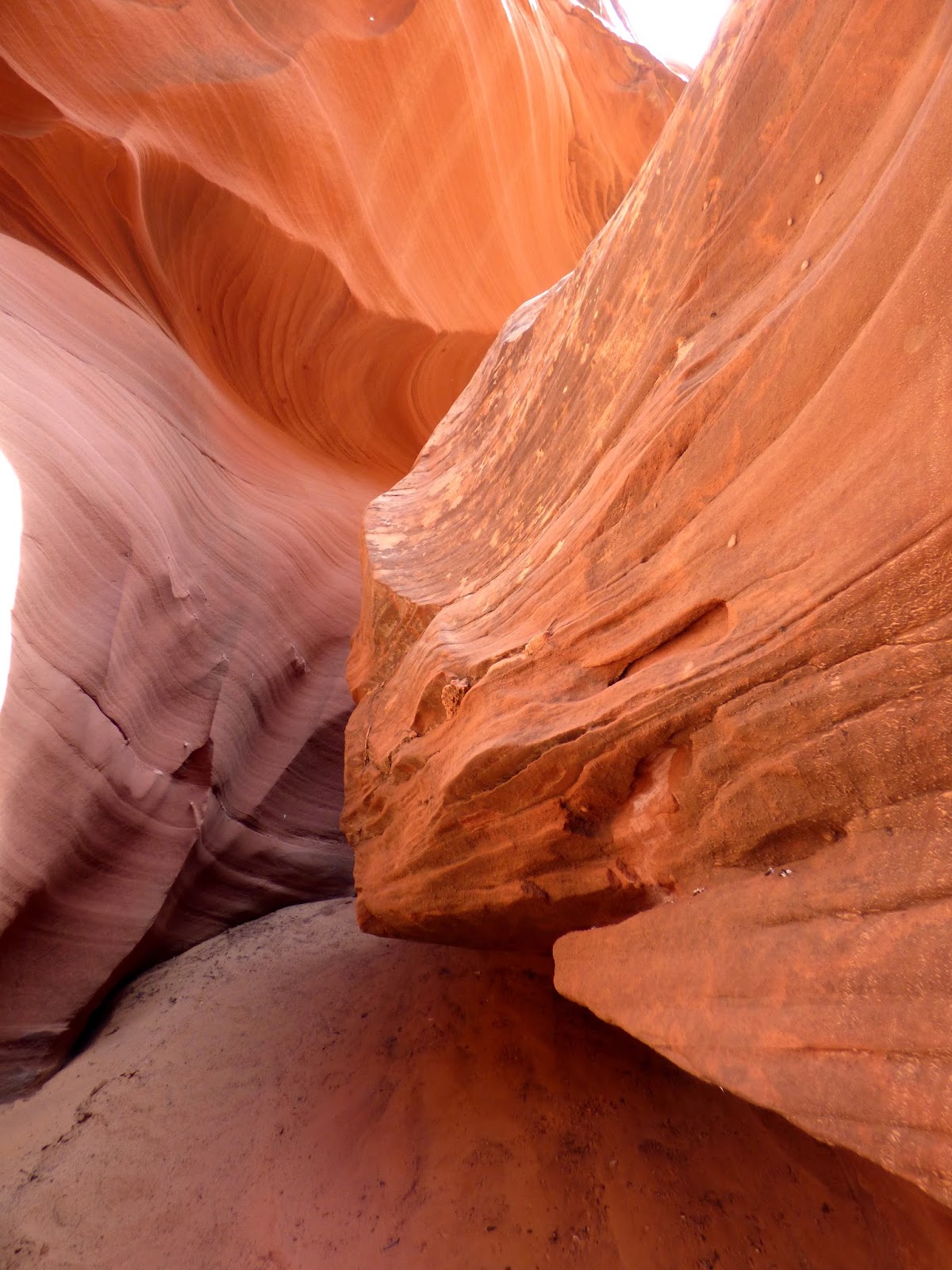
After hiking Waterholes Canyon in the morning, we had a delightful late afternoon hike at the Giant's Pocket.  Some sections would be categorized as a slot canyon.
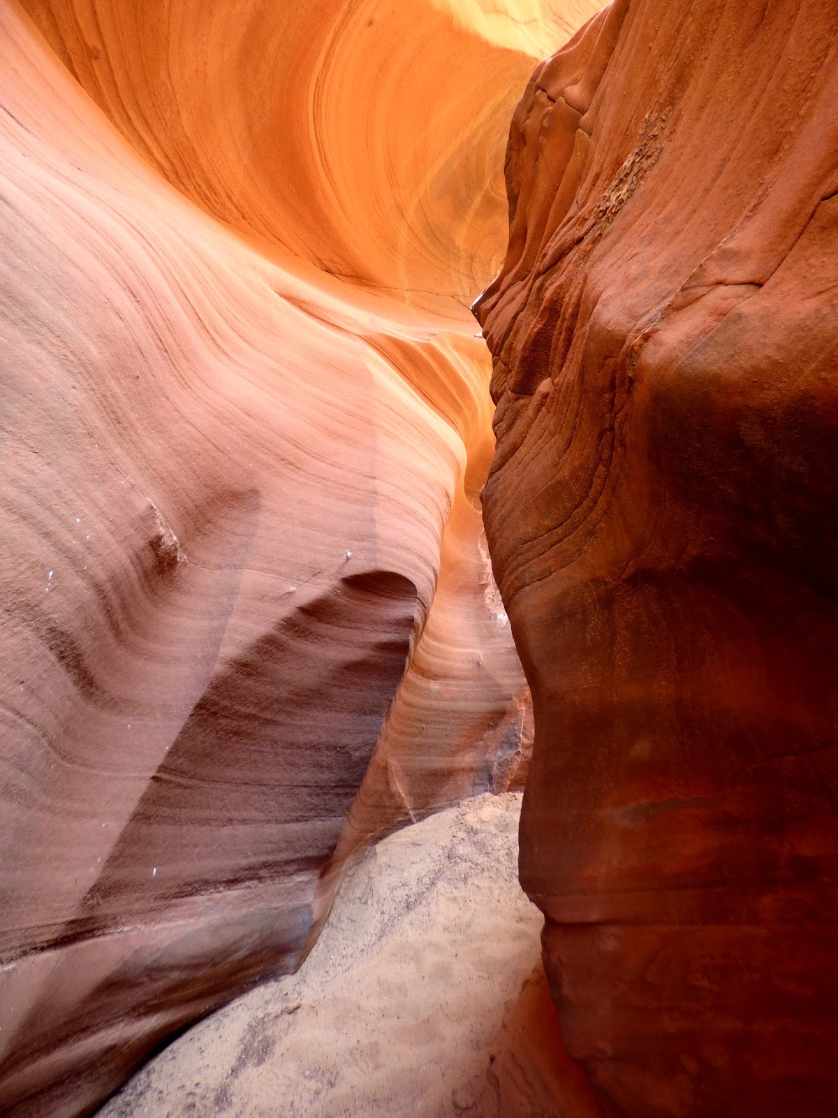
This is how we had to get through a tight spot.
The sacred datura plant was in full bloom near the start of this trail.
On the last day we did Jacob's Draw in the morning.


When we got out of the draw at the top, we were greeted by a very informal pet cemetery with sweet sentiments inscribed on the tomb stones.
That afternoon, for our last hike, we did Catstair Canyon, a short hike with some very interesting rock art at the head and a luminous reflecting pool at the back end.

What a nice trip and a nice break from business as usual. 

October 23, 2016

The Best Day

The most fabulous hike of the whole week was into Waterholes Canyon.  This is a slot canyon that was formed by millions of years of water flow carving down through the sandstone bedrock.  The result is a very narrow canyon that is open to the sky to various degrees.  In some spots, it is necessary to scoot or climb through if the bottom of the canyon is not wide enough to walk on.  Slot canyons are common in southeast and south central Utah and the corresponding areas of northern Arizona.  Walking through this canyon gave one the sense of being in intimate contact with our earth mother.  Going back into the womb so to speak.   I have included the best of the best photos below.


This last scene was at the end of the canyon.  I named it the stairway to heaven!  Luckily we did not have to climb out this way.  Instead, we made our way back the way we had come, getting a chance to enjoy the magic of the slot canyon once again. 


October 22, 2016

Horseshoe Bend

Our next stop was Horseshoe Bend, one of the most photographed places in the area just a bit south of Page, Arizona.  You can tell from the photo that the overlook for this site is very high on a plateau, and that the river has carved down through the bedrock over many millennia. 

You are looking at the Colorado River which has just come from Lake Powell and through the Glen Canyon Dam.  Many people boat on this section of the river with motor boats, rafts and kayaks.  If you look closely at this photo, you can see the blue river rafts lined up below and to the right of the dam.
For rafters to get to these rafts, they have to be transported from the surface and down through a 2 mile long tunnel to the water's edge.  

Horseshoe Bend is the half way point between the put in at the dam and the take out at the very historical Lees Ferry area.  Most kayakers camp for one night near a beach at the base of the bend.  Sounds like a very delightful way to spend a few days! 

October 21, 2016

Twin Pinnacles Trail

On our second day of hiking, we did a morning hike out to the Twin Pinnacles and beyond to an arch.  The hike started out across country, then into a draw or dry creek bed, past the pinnacles and then a big climb up with big vistas to view the arch.  Here are some of the sights we saw on our way to the top.

After coming back down from the arch, our group of 20 people found a shady spot to stop and have lunch, all the while enjoying the wonderful views. 

I listened as the various conversations drifted upwards from all of the small groups of people.  It was not at all unpleasant, but I had to try to imagine what this lovely spot would have been like in total silence. 

October 20, 2016

Toadstool Valley

This was a fairly easy first day group hike to a very unique geological area.  The toadstools are created by erosion of the softer layer of stone that is beneath a harder layer that remains on the top of the eroded columns.  As we were there towards the end of the day, the colors of the different strata of stone really popped in the fading daylight!