November 13, 2018

Baalbek

Now on to the huge and fabulous ruins of Baalbek, which is a UNESCO World Heritage Site, and is billed as having the largest and most impressive Roman archeological remains in the world.  It did not disappoint.  To get there, we drove from Beirut, across a mountain range, and down into the Beqaa Valley, Lebanon’s main agricultural area renowned for its wine production.  We went through a town that started as a Palestinian refugee camp and had turned into permanent housing, and also saw several Syrian refugee camps along the way. 

Our first stop was at the quarry where the “Stone of the Pregnant Woman” is located.   I’ll write more about that in the next post.  While we were there, however, a fierce wind starting blowing, with dust, dirt and garbage blowing everywhere, followed by lots of low rumbling thunder, and then torrential rains.  After hanging out in the site’s gift shop, we went to lunch, and cut the day short a bit by checking into our hotel in Zahle.
This is a lovely town on a mountain slope that has always been a refuge for wealthy Lebanese and foreigners to get out of the summer heat.  We were to spend 2 nights there. 

Anyway, I do not know if it was the big lunch, travel fatigue setting in, the big weather change, or the preview of tomorrow’s energy at Baalbek, but I went right to bed in the middle of the afternoon after checking into the hotel.  After a lecture that Hugh Newman gave the group later in the afternoon, I took a walk onto town after nightfall to get some snacks and to get back into my body, only to have the power in the whole town go out because of the ongoing storm.  A little creepy, but the headlights from the passing cars helped light my way back to the hotel.  It was still raining at that point, too.

So on to Baalbek the next day.  Fabulous!  Not only is the total area of the site very large, but remains of the structures that are there are huge, too.   Most of the structures are made of limestone, but there are also columns of red granite that came from the Aswan quarry in Egypt and several other kinds of granite that we could not identify.   Here are some photos.
Here is the red granite from Egypt.
As I wandered around, mouth agape, I stopped to tune in energetically to a huge block of limestone. The first impression was the energy of “love”.  I then remembered that I got that same energy at Alacahöyük at the start of our trip.  What does this mean? The energy was elevated, joyous, sparkly, and gave me a sense of happiness.  Is this the vibration that was used to levitate the super heavy stones?  I also received a message that said that the large multi ton stones could be tossed around like a child’s wooden blocks.  This is not the first time that I have felt that giants were involved.  Here are more photos of this amazing site.
Here, we were looking down through a gap in the upper wall to view the megalithic blocks that we would visit later in the afternoon.  They look small here, but they were the size of railroad cars.
After lunch, we went back to Baalbek to check out the outside of the enclosure.  If the inside was mind boggling, the outside was even more so!  Here, the outside of the big walls and the foundation stones could be seen.
It seems obvious to me that the foundations are much older than the rest of the site, and that what is seen on the inside of the site has been built on the ancient foundations here.  In the photo below, it looks like the darker more ancient foundation stones were trimmed to an angle to meet the newer construction above.
Here is the often noted Trilithon, the 3 800 ton stones that are actually on top of several 400 ton stones. The enigma is that normally, heavier and larger stones are on the bottom, yet it is reversed in this location.  The Trilithon stones are the 3 paler stones at the center of the photos below.  It was too large to get into one shot. 


Below you can see the newer construction up against the older construction with the larger stones.
I took some time to tune into the large railroad car sized stones that were lined up in one of the photos above.  What I got was that the large multi ton stones that we were looking at were indeed much older than the rest of the site. They were there first before anything else was built.  They were moved through levitation and vibrational softening.  The interesting bit here was that when using this method, there was no difference in the moving of a heavy and bulky stone versus a smaller and lighter stone.  It was all the same since gravity and weight did not apply!

By the time we left Baalbek, the weather was starting to clear up.
We went on to visit several quarries, which I will write about in the next post. 

November 12, 2018

Byblos

It was now time to leave Turkey.  Some travelers went home at this point, some connected to other trips, and about half of us went on to do the Lebanon extension.  I figured that as long as I was over there, I might as well do that.  I might never travel that way again.  Going through security upon our arrival at the Beirut Airport was a fairly stringent affair.  Everyone got the once over, and we were told ahead of time that if we had an Israeli stamp in our passport, we may be denied entry into the country.  

Our first night was in Beirut, and as we arrived after dark, there was not much to see.  I did take note of the bombed out Holiday Inn that had never been torn down after the civil war ended in 1990.  By daylight many abandoned buildings could be seen. 

The city had been rebuilt in a very haphazard way after the war.  No city planning was in evidence.  Before the war started in 1975, Beirut was known as the Paris of the Mediterranean.  There were 40 casinos, and many fashion designers held the first showings of their collections there.  That time is long past now. 

As it turned out, the rest of the country had the same “chop suey” energy as Beirut had.  A little of this and a little of that, all thrown together.  On our first morning there, we visited the Jeita Grotto, which is a huge cave that has an upper and a lower part.  We first walked the upper part to view the fabulous stalactites and stalagmites, and then took a short boat ride on the river that flows through the lower part.  Unfortunately, we were not allowed to take photos, but you may find some on the internet.  It is worth taking a look.

Then on to the coastal town of Byblos.  It goes back at least 7000 years, and is also a UNESCO World Heritage Site as a continuously inhabited town for all of that time. The current town itself is just charming,
 and the harbor is picture perfect. 
The whole area has layers of ruins and old habitations from the Phoenician, Greek, Roman, and Crusader periods. 

After having a huge Lebanese lunch, we toured the ruins.  Here is the Crusader castle, which had been destroyed and rebuilt several times.
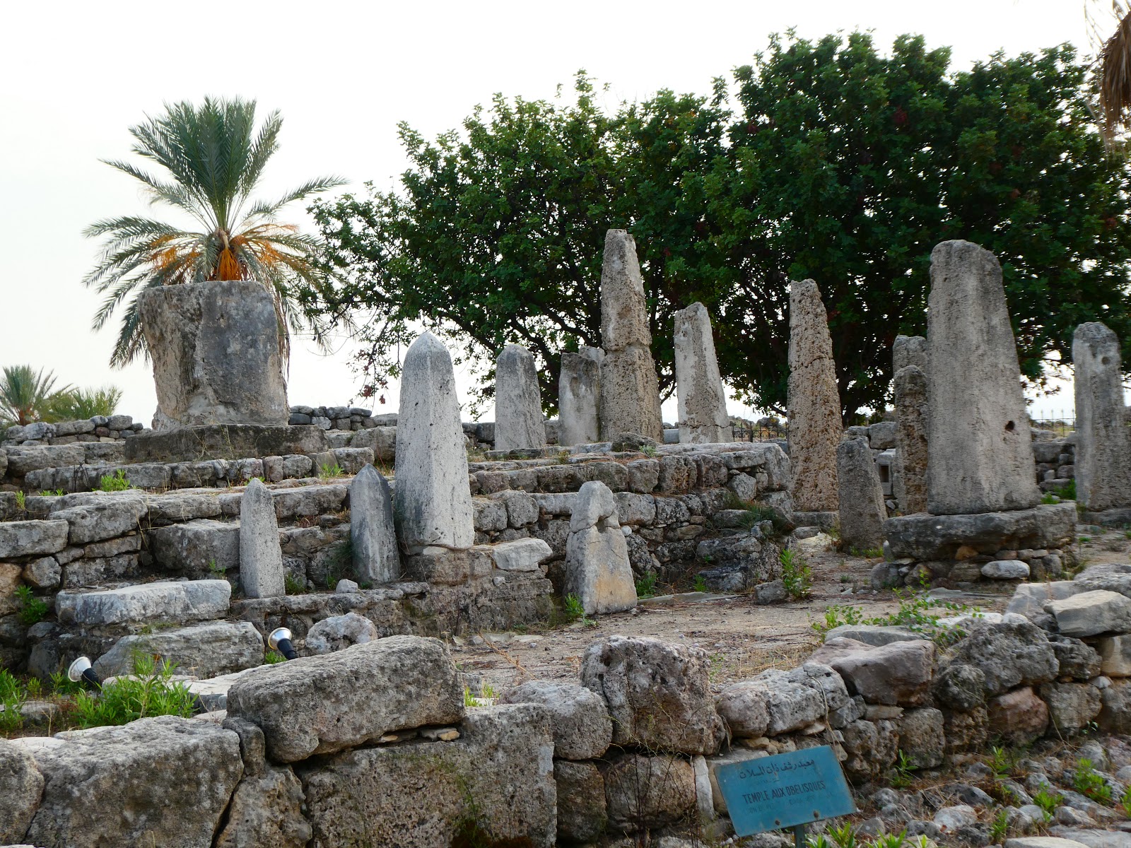
The Temple of the Obelisks looked fascinating, but unfortunately, it was fenced off.  My sense was that there was something important energetically going on in there.
Here you can see an abandoned house overlooking the sea at the edge of the ruins.  This area had been covered over by dirt and debris through the years, and eventually, people built their houses on what they thought was bare land.  When the excavations started, all of those houses were torn down except for this one.  From the size of the house, it looks like this was probably a wealthy enclave.
While we were standing in this area, a flock of storks in V formation flew overhead.  They were on their way to Africa for the winter. 
Here are a few other photos of the grounds.
Back to our hotel in Beirut for another night before heading to the Beqaa valley.

November 11, 2018

Mount Nemrut


Having finished with the Sanliurfa area and Göbekli Tepe, we traveled towards Adiyaman for our last day in Turkey.  We were still very close to the border with Syria, too.  I couldn’t help but wonder if northern Syria was also replete with interesting ancient sites and ruins like those that we had seen in SE Turkey, and in a few days, would be seeing in Lebanon. 

Our route took us along the Euphrates River and past the Atatürk dam and power plant.  Sadly, the building of this dam flooded many ancient sites.  The main enclosure of Nevali Cori was actually moved to the Sanliurfa Museum and reconstructed before the flooding could destroy it.
We were in a high security area, so there were several police check points to go through.  Lunch was a delightful and relaxing affair in a restaurant overlooking the reservoir that was created by the dam. 

At some point, we again switched to two minivans, and after crossing an ancient Roman bridge, 

the drive up to the top of Mount Nemrut started in earnest.  This was to be our final activity in Turkey.  The top of this mountain is at 6500 feet in elevation.  On the top are the remains of the monuments that Antiochus I built before his death as a memorial to himself.  The gods Tyche, Zeus, Apollo, and Heracles are featured as well as lions and eagles. 

The big deal here is to be on the top at sunset to view the west terrace, or at sunrise for the east terrace.  Unfortunately, the mountain was getting more and more socked in with a drizzly fog so that by the time we arrived, the visibility was very poor.
In spite of that, it was also very crowded with tourists. 

The remaining climb to the top was a 750 foot elevation gain on nice stone walkways and steps,
 
then wooden walkways, and on the way back down, a pretty rough and slippery stone path with steep steps. Several of the ladies in our group took a mule up to the top because of their physical limitations, and one took the mule both ways.  That was a sight to see for sure! 

Here are my photos.

The drizzle cleared up a bit momentarily at the top, and then we were socked in again making the hike down on the rougher rocky path somewhat slow and potentially dangerous.  Note that most photos of this site that can be found on the internet show the remains of the statues in the warm glow of the rising or setting sun.  The views are supposed to be spectacular.  My experience here was a testament to my persistence and endurance.  That is how I will remember it!

November 10, 2018

Karahan Tepe

Now, we are off to have a real adventure!  After our second day at Göbekli Tepe and a visit to the excellent museum in Sanliurfa, we take off in 2 minivans to a site that is not too far from Göbekli Tepe.  The minivans are necessary because we will be driving on some country roads that would be dangerous for the big bus.  Our destination is the largely unexcavated site of Karahan Tepe.  It is considered to be a sister site to Gobekli Tepe, and is probably just as old.  There are also a number of related sites in the area, but none are as large as this one. 


After winding our way through a fairly barren landscape, we arrive later in the afternoon to the location with gifts for the land owner, since we are on private property and are visiting with his permission.  We then leave the vehicles in his yard and climb a nearby hill.  Luckily, the rain had stopped by then! 
 

On the top of the hill were numerous cupules and even larger “bowls” carved into the limestone.  What they were used for is not known.

Then working our way down the eastern slope of the hill, we started encountering numerous unexcavated stone enclosures.  The T-shaped stones that were there at first glance looked like any of the other limestone rubble on the ground.  Only the tops were visible.
A few of them had been excavated, and they all were about 4 to 5 feet tall.  Mini versions of what was at Göbekli Tepe.

After checking that out, we climbed back up the hill and down the western slope to the limestone quarry where a 24 foot unfinished and partially carved stone is still on the ground.
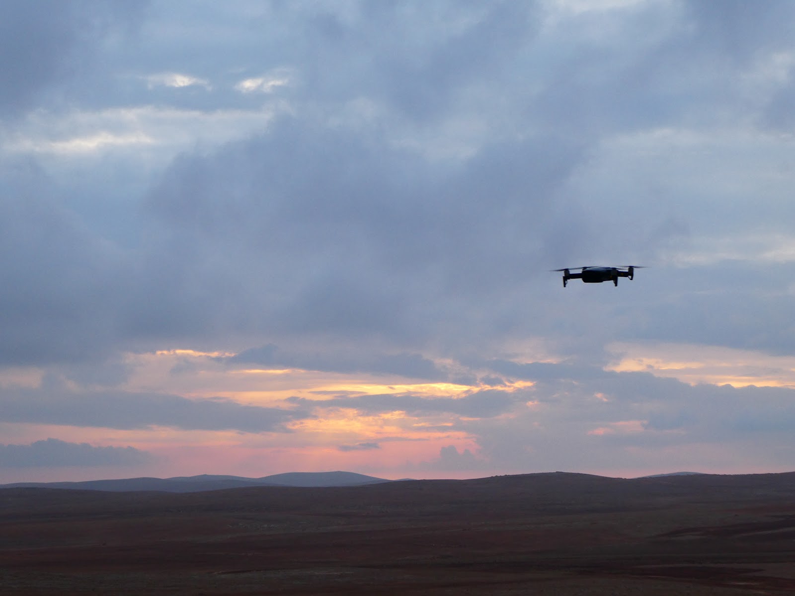
We had a nice view as the sun was setting, with Hugh's drone filming us,
 and then back to the land owner’s house for some tea.

Interesting that only the owner and his adult sons had tea with us.  The ladies were there, but never came out.  I did like the goats, however!