
I just got back from my latest road trip, and thought I’d share some photos while the trip is still fresh in my mind. It is still very warm here in Cedar City. In fact we set a record high of 85° just a few days ago. There will be a weather shift to cooler temps on the weekend, so I thought I’d do a drive to check out the fall colors while the weather was still pleasant.
It seemed to me that the trip was much longer than it was; however, what I am describing here took only 4 hours and 105 miles. I traveled a big loop that covered at least 4300’ feet in elevation change, several different ecosystems, and lots of beautiful geology.
So I started out by driving south on our local highway 15 to Toquerville, east to La Verkin and then to Virgin. Gotta love those Mormon names! Just past the town of Virgin, named for the famous Virgin River, which flows through Zion National Park, I turned north on the Kolob Terrace Road. I stayed on this road until just a few miles before reaching Cedar City.
I had never done this route before, and was just amazed at what I was seeing. After turning north, I didn’t have to go too far before I had entered the western edge of Zion. The road climbed steadily and went past many fantastic rock formations.


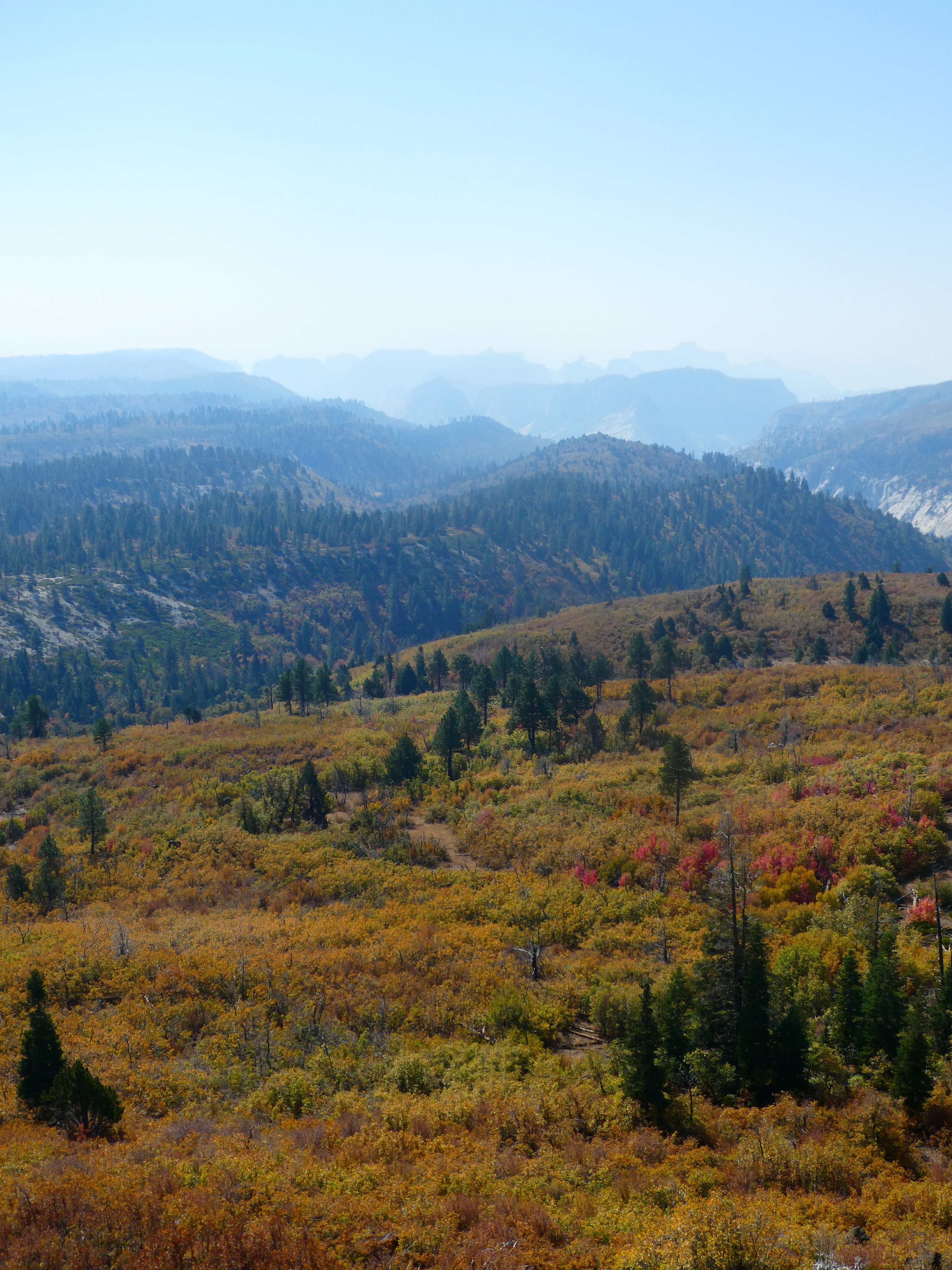
After winding through canyons and forest, I eventually came out of the park and took a side road to Lava Point. Today was a very hazy day, undoubtedly because of smoke from far away wildfires that was blowing into the area. This overlook is at the edge of the Colorado plateau, so the drop off here is extremely steep. Here is a photo looking down over the edge.


This road goes through a very isolated area. From the reservoir and the start of the dirt road, north and down to almost Cedar City, it is closed in the winter. Thoughts of my car breaking down out here floated through my mind, but I knew I was getting close to home, so I pushed onward.
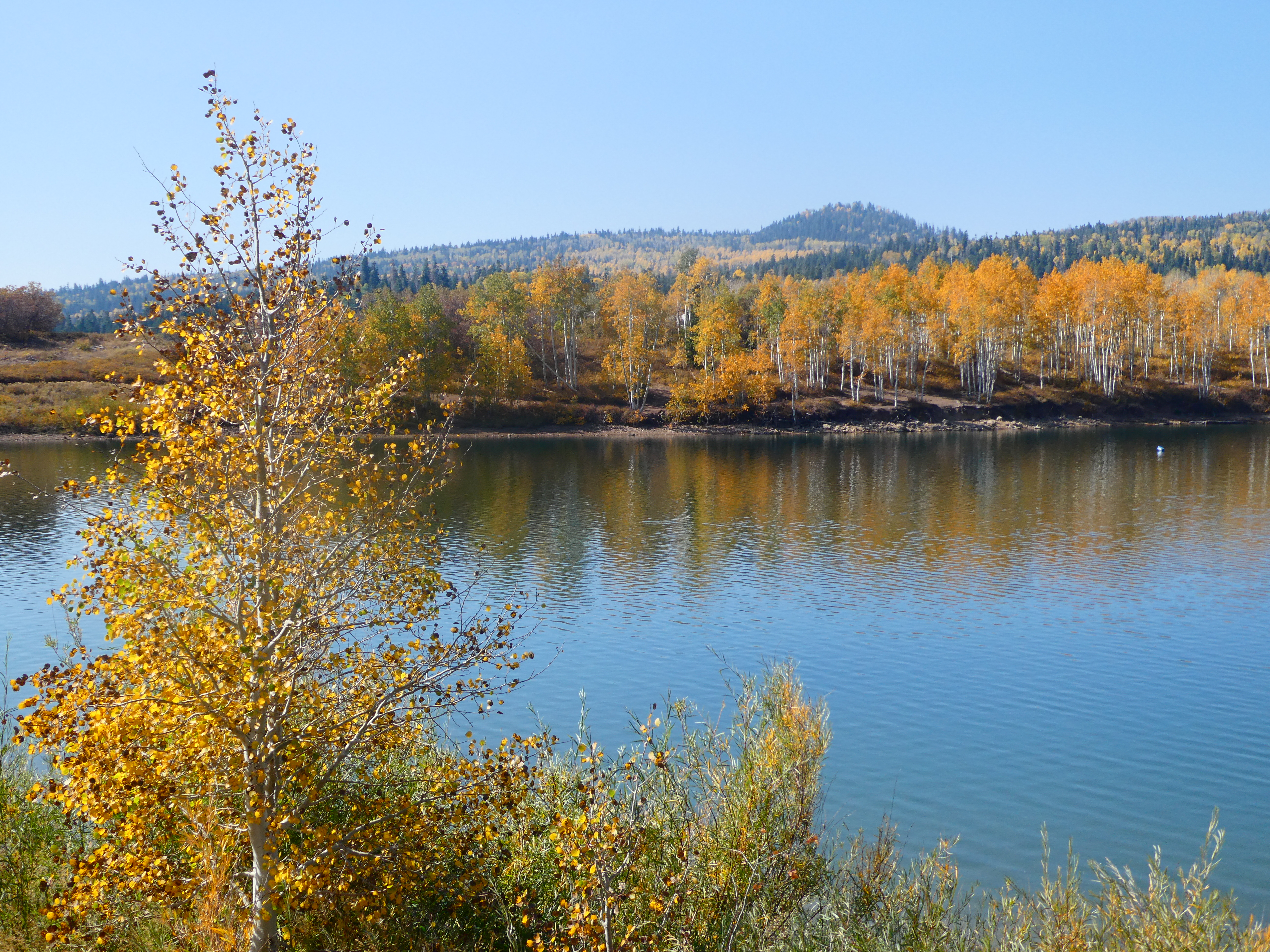
After entering an area of very large aspens that had already lost their leaves because of the dryness and the high elevation, I started seeing more signs of life in the form of many more summer cabins and small houses. They all looked like they were already shut down for the winter. Then, the road became asphalt once again, and there were other cars passing me, too. Relief!
For this next stretch, I do not have any photos, as I was driving down a winding road with switchbacks and drop offs, and there were very few places to park along the side. I estimate that the elevation change was about 2000' going down here. I did get a photo about half way down to the bottom of the beautiful geology down below and just east of Cedar City.


No comments:
Post a Comment